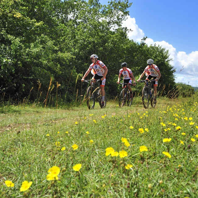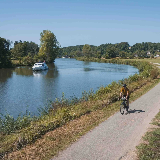
This is a loop that should only be attempted by cyclists with a modicum of training, for the most sporting of the routes around La Planche des Belles Filles. Starting at the summit of La Planche, the now legendary Tour de France race will serve as hors d’oeuvre and dessert, first downhill and then uphill. At the foot of the Planche, you head towards the Ballon de Servance, the highest point in the département, following the course of the River Rahin and then taking a small, steep forest road. At the Col de Servance, the route veers off towards Château-Lambert, home to the departmental mountain museum and nature and culture centre, as well as a curious inscription at the entrance to the church of Notre-Dame de l’Assomption: “Erected at the expense of the kings of Spain”, testimony, if ever there was one, to the fact that the area belonged to the kingdom of Spain in the 17th century.
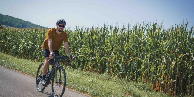
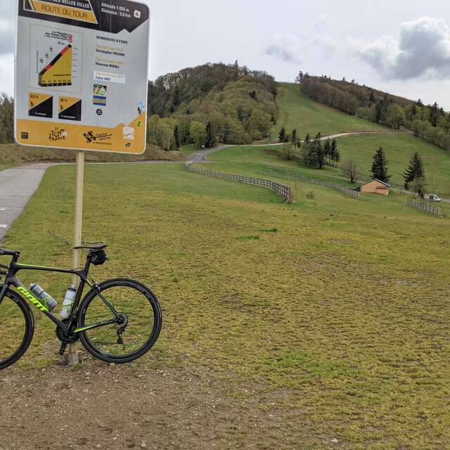
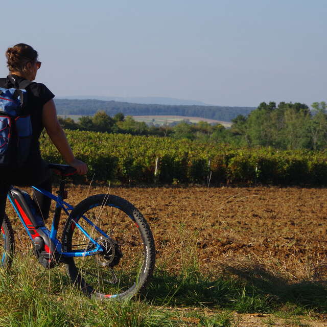
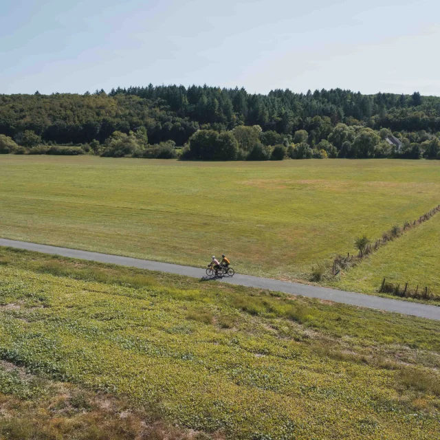
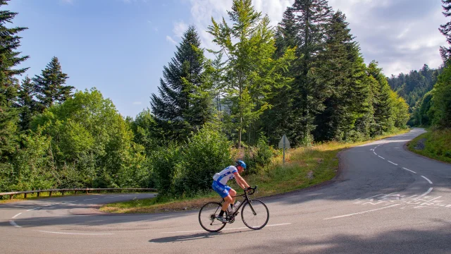 A cyclist on the ascent of La Planche des Belles Filles - Vosges du Sud
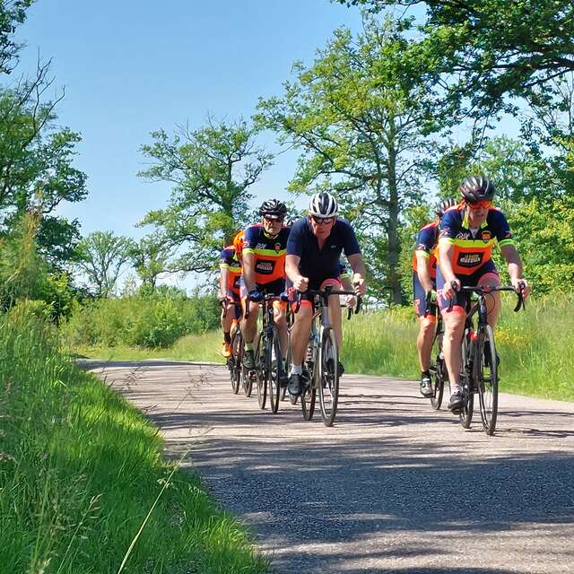
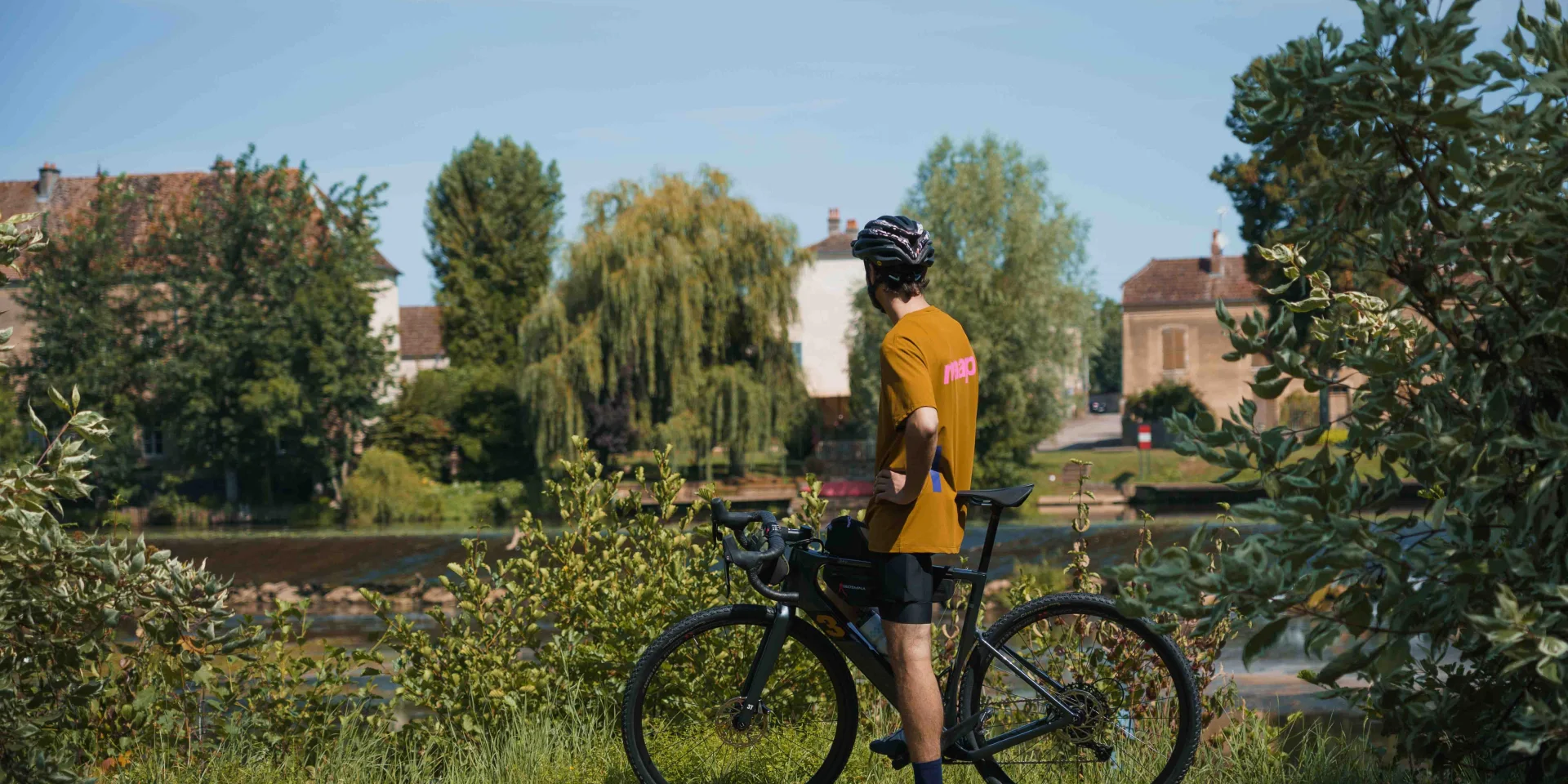
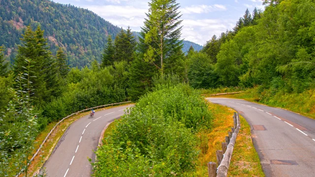 A cyclist climbs the hairpin bends of La Planche des Belles Filles, a legendary stage in the Tour de France - Vosges du Sud, Haute-Saône
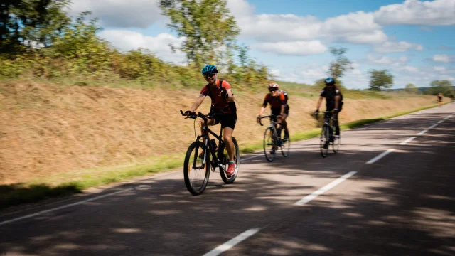
At the Col des Croix, the route flirts with the Vosges department, before following the course of the Ognon to Servance and branching off towards Miellin. The terrible ascent of the Col des Chevrères (3km at 11.4%) is then on offer, as it was in 2014 when the Tour de France first passed through. On the descent, you soon reach Belfahy, the highest village in Haute-Saône. It is said that the best blueberry tarts in the region are made here. Shortly before Plancher-les Mines, the route returns to the D16 and the Rahin valley, where the gradient seems to ease. However, this impression is quickly contradicted by the first gradients of the final ascent.
Loop 21: 62 km, 1,800 m ascent. Difficult level.