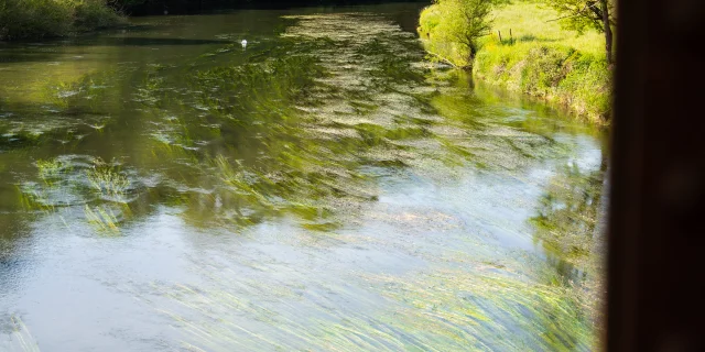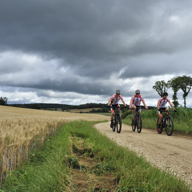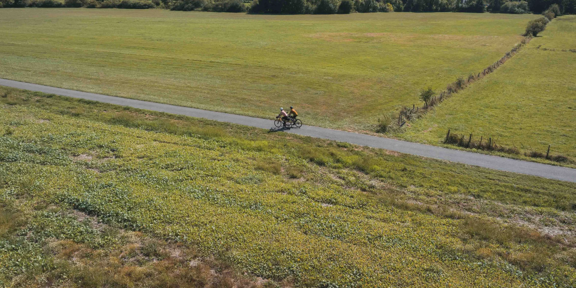
EuroVélo 6, known as the river route, links the Atlantic to Alsace, following the courses of the Loire, Saône and Doubs rivers and the Burgundy and Rhône to Rhine canals. The Voie Bleue runs from Luxembourg to Lyon. The Courlis trail is the greenway linking Port-sur-Saône to Vesoul. At its start, it merges with the Voie Bleue, which heads south and crosses the EV6 not far from Dole. At the Chemilly footbridge, the Courlis track crosses the Saône, so cyclists coming from the Voie Bleue can aim for Vesoul.
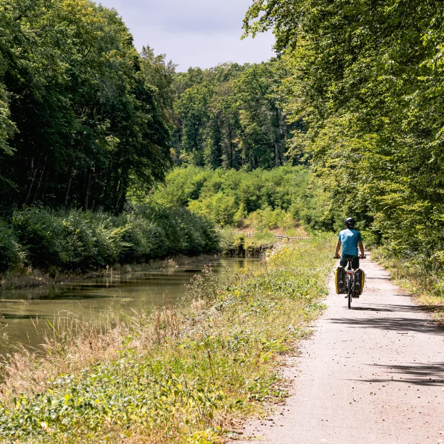
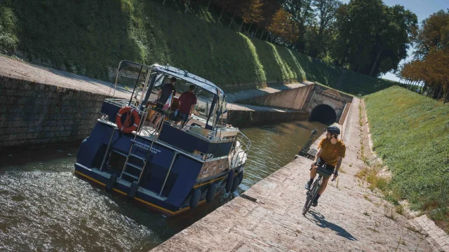 A boat is about to enter the Saint-Albin tunnel, on the side a touring cyclist watches the boat - Vesoul - Val de Saône
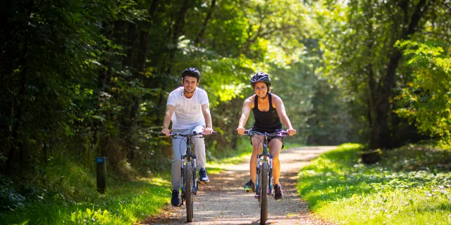
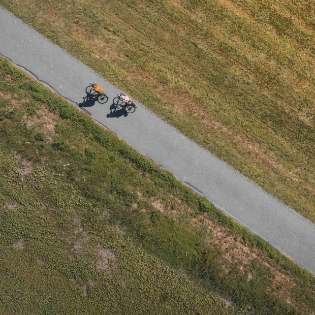
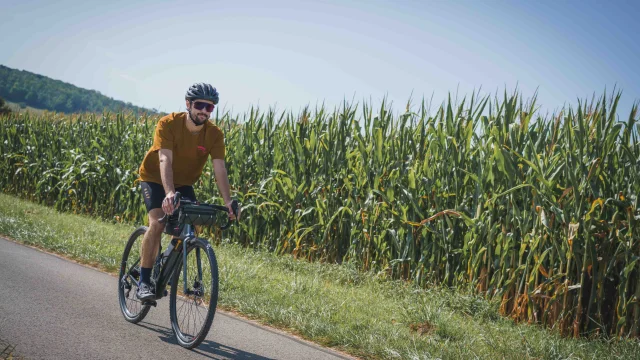 A cyclist takes the Trace du Courlis, which links the V50 and the EV6. He is in the middle of nature on a dedicated site in the middle of maize fields - Vesoul - Val de Saône
Once past the capital of Haute-Saône, the “chemin vert” (one of France’s oldest greenways – it replaced the Vesoul-Besançon railway line in 1980) stretches for around thirty kilometres. It’s enough to get you to Loulans-Verchamp, a Station Verte (green resort) that celebrates cancoillotte, finally recognised as a PGI (protected geographical indication) in 2022. At the “Au Gré du Pré” educational farm, it’s goat’s cheese that’s being showcased… along with yaks, llamas and zebus, which are more unexpected near the river Ognon.