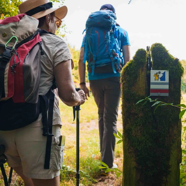
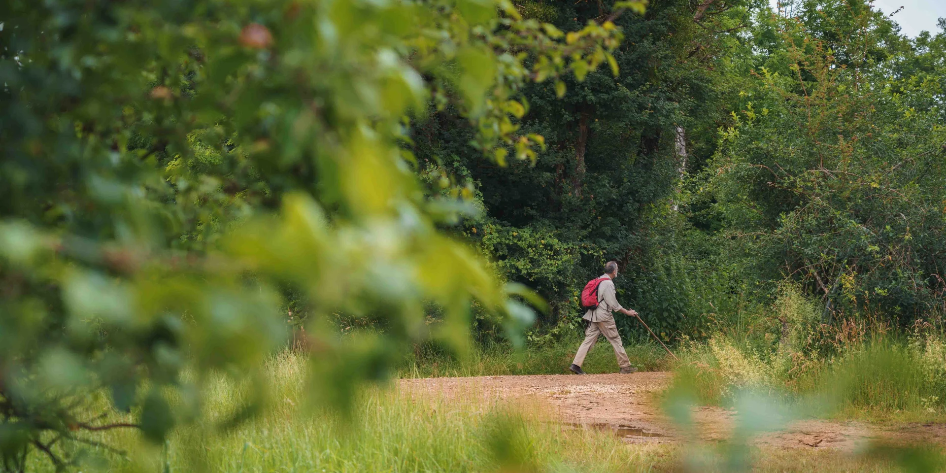
A hiker at the bend in the path. He is carrying a red hiking bag and poles - Vesoul - Val de SaôneA hiker at the bend in the path. He is carrying a red hiking bag and poles - Vesoul - Val de Saône
©Hiking |Maxime Naegely

Our selection Tours in Vesoul-Val de Saône

If you’re a keen rambler, the Vesoul-Val de Saône is the place for you, with trails along the Via Francigena. The area also offers a multitude of loop routes, combining natural and heritage discoveries. To give you an idea, here is a selection of routes to explore in Vesoul-Val de Saône.

The Saône and Man

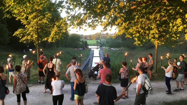
This round trip discovery trail runs along the banks of the Saône, from the Saint-Albin tunnel, for a family-friendly walk. The route is punctuated by fun panels recounting the history of the river and its link with man, and distilling information on the past and present relationship between man and the river. The starting point is at the entrance to the Saint-Albin tunnel, where you can discover this 681-metre-long work of art.

Length: 1.4km. Very easy. Start and finish at the Saint-Albin tunnel.
Our recommendation

You can continue on to the village of Rupt-sur-Saône. The 33-metre-high keep, an imposing vestige of the medieval castle, dominates the landscape. This village has a remarkable architectural heritage, with its 18th-century church, a calvary and the cross at the crossroads at a place called La Croix du Calvaire. The narrow streets of the village are dotted with old houses and the castle, now privately owned, bears witness to different eras: its medieval tower stands alongside a 16th-century dwelling and adjoining farmhouse.

Caesar's camp

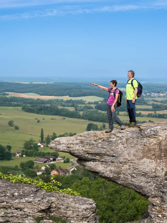
The Camp de César, located in Chariez, is a rocky plateau rising to an altitude of 380 metres. This site, occupied since prehistoric times, offers a panoramic view of the Durgeon Valley and the surrounding villages. A 7km signposted footpath, starting from Chariez church, takes around 2? hours to reach this remarkable viewpoint. The south-western slope, known as “la Côte du Gradion”, is home to caves and overlooks the village of Chariez, classified as a Cité de Caractère in Burgundy-Franche-Comté. The plateau is also home to intriguing rock formations such as “la Guillotine”, “le Pintet” and “La Pierre qui Vire”, each with its own history. This walk also offers an opportunity to discover Chariez’s architectural heritage, with its ancient fortified house and typical houses, while enjoying a varied natural landscape and breathtaking views over the region.

Length: 7km. Difference in altitude: 183m. Medium difficulty. Start and finish in front of Chariez church.

The Cassini cross At the Cita plateau

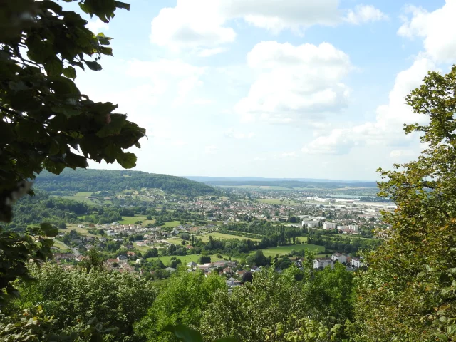
This walk on the outskirts of Vesoul takes you back in time. This varied route, alternating between forest and meadow, takes you up to 447 metres altitude, to the Croix de Cassini. The Plateau de Cita is a natural grassland located on a rocky spur bordered by cliffs, offering breathtaking views of Vesoul and the surrounding area. The site was once used as a prehistoric camp, and a dry stone wall can still be found here. The path then takes you to an arboretum, before returning you to the starting point. This walk allows you to appreciate the diversity of the landscape while discovering the local archaeological heritage.

Length: 7.5km. Difference in altitude: 86m. Easy walk. Start and finish at the 4 Sapins car park in Navenne.

The dry stone path


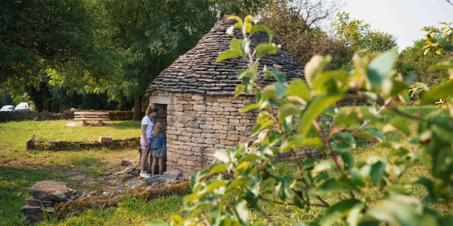
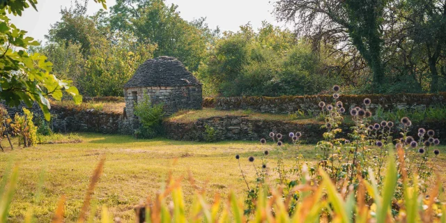
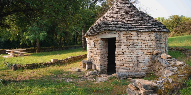
The Champlitte dry stone interpretation trail invites you to discover the history of local winegrowing. The trail winds its way through a landscape shaped by the hand of man since the 17th century. The Lavières, named after the flat limestone stones used in their construction, reveal the ingenuity of the winegrowers of yesteryear. Eight explanatory panels line the route, revealing the evolution of the site. As you make your way between vineyards, gardens and murgers, you’ll understand how the inhabitants transformed this limestone terrain into a productive vineyard. This walk allows you to appreciate ancestral know-how and the harmony between man and nature, while admiring the unique landscapes of Haute-Saône.

Length: 3.5km. Difference in height: 61m. Easy. Start and finish in Champlitte.

All signposted routes

Find all the routes in Haute-Saône on the dedicated page. There are around a hundred signposted routes throughout the region!
All you have to do is choose…