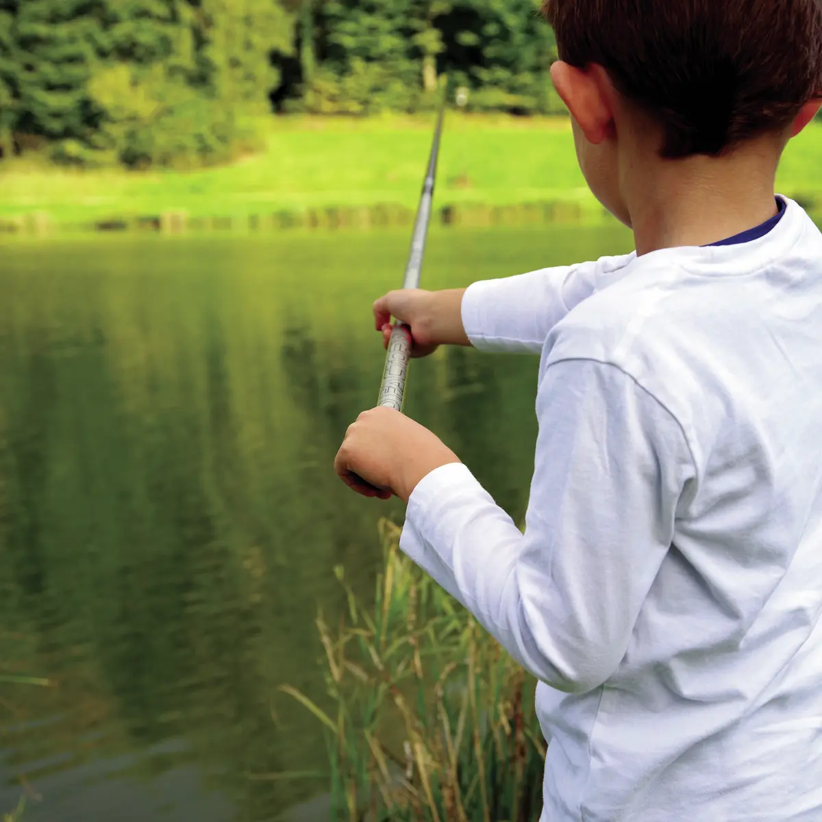
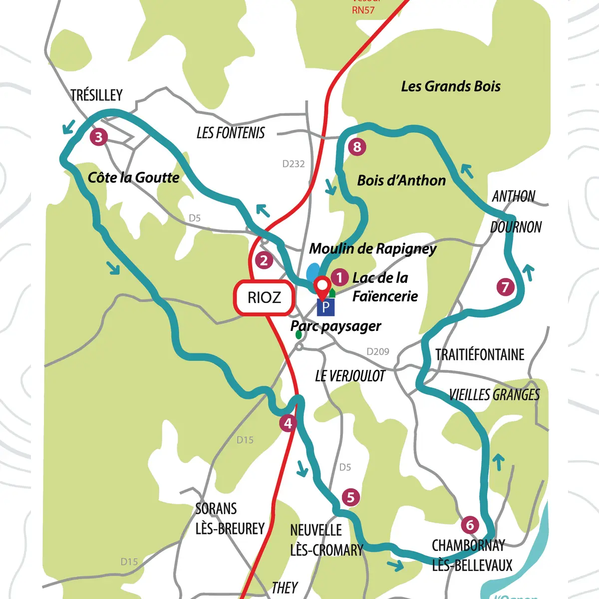
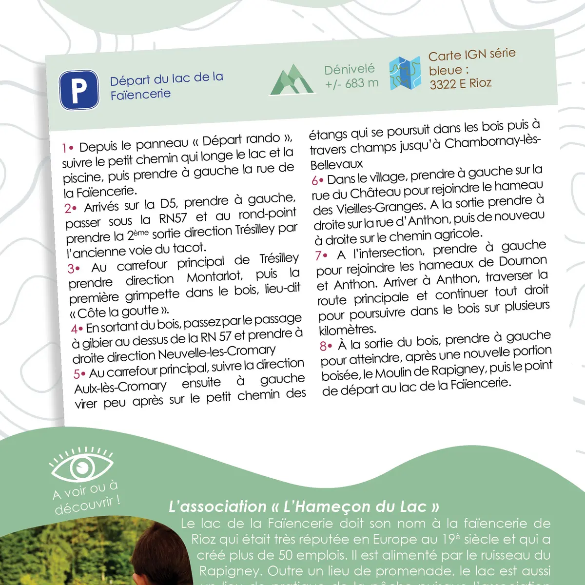
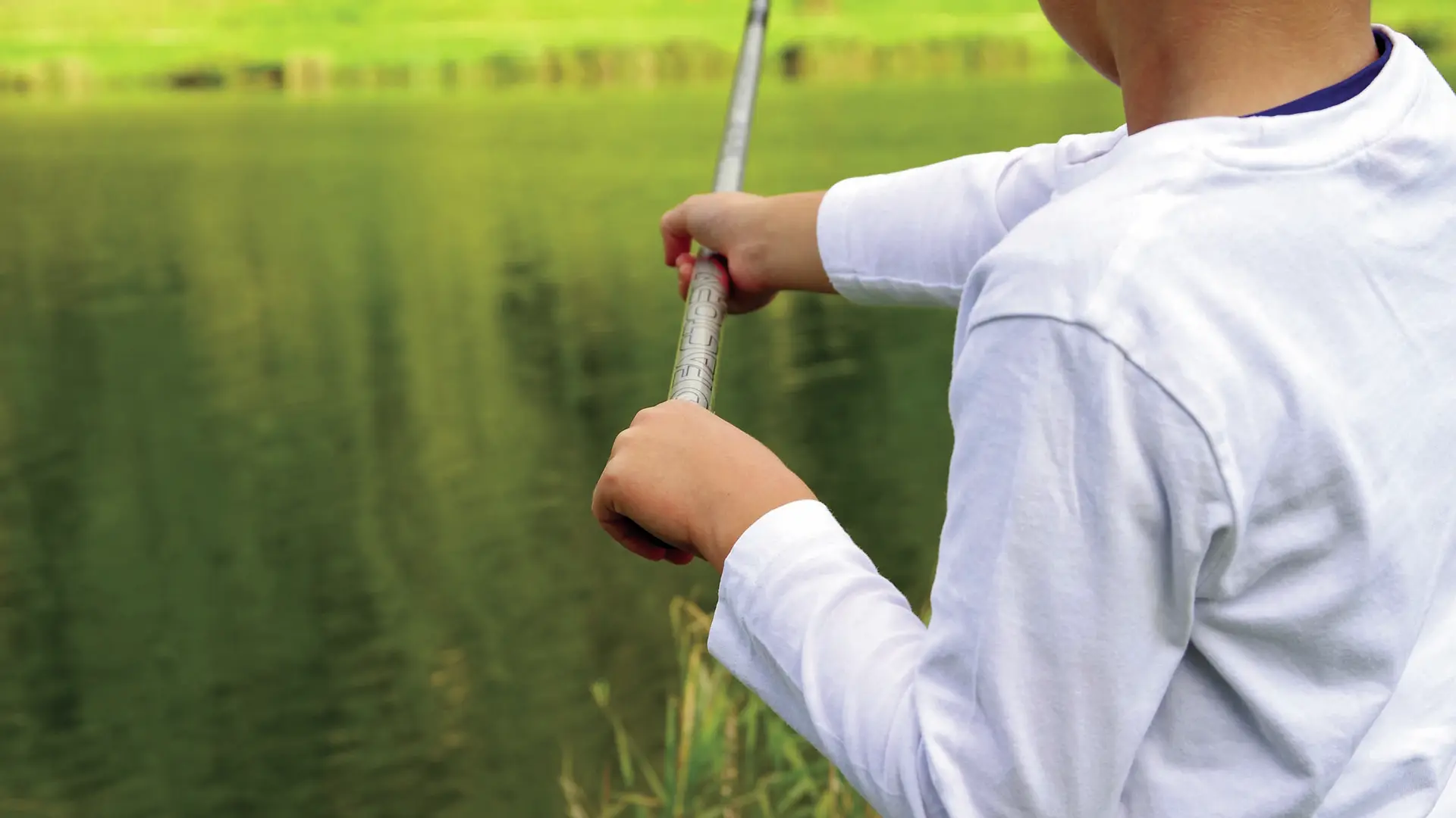
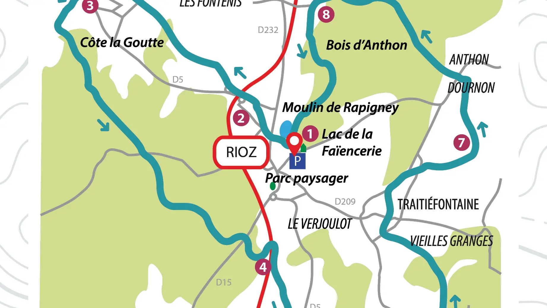
1- From the sign "Départ rando", follow the narrow track which goes along the lake and the swimming-pool, then turn to the left in the street "rue de la Faïencerie".
2- Once on the road D5, turn to the left, pass under the RN57 and at the roundabout, take the 2nd exit towards Trésilley by the old "tacot" way.
3- At the main crossroads in Trésilley, head towards Montarlot, then take the first climb in the woods, at a place called "Côte la goutte".
"Côte la goutte".
4- As you leave the wood, go through the game passage over the RN 57 and turn right towards Neuvelle-les-Cromary.
5- At the main crossroads, follow the signs for Aulx-lès-Cromary, then turn left shortly afterwards onto the "chemin des étangs", which runs through the woods and then across the fields to Chambornay-lès-Bellevaux.
6- In the village, turn left onto rue du Château to reach the hamlet of Vieilles-Granges. At the exit, turn right onto rue d'Anthon, then right again onto the farm track.
7- At the crossroads, turn left into the hamlets of Dournon and Anthon. When you reach Anthon, cross the main road and continue straight ahead through the woods for several kilometres.
8- At the end of the wood, turn left to reach the Moulin de Rapigney, after another wooded section, and then the starting point at Lac de la Faïencerie.
Read more