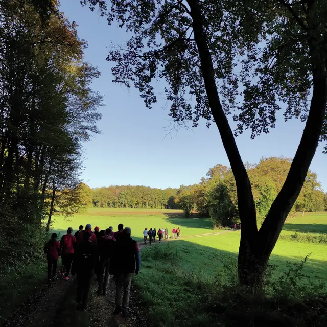
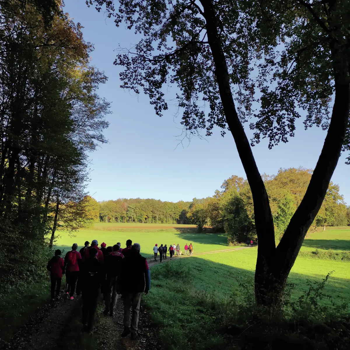
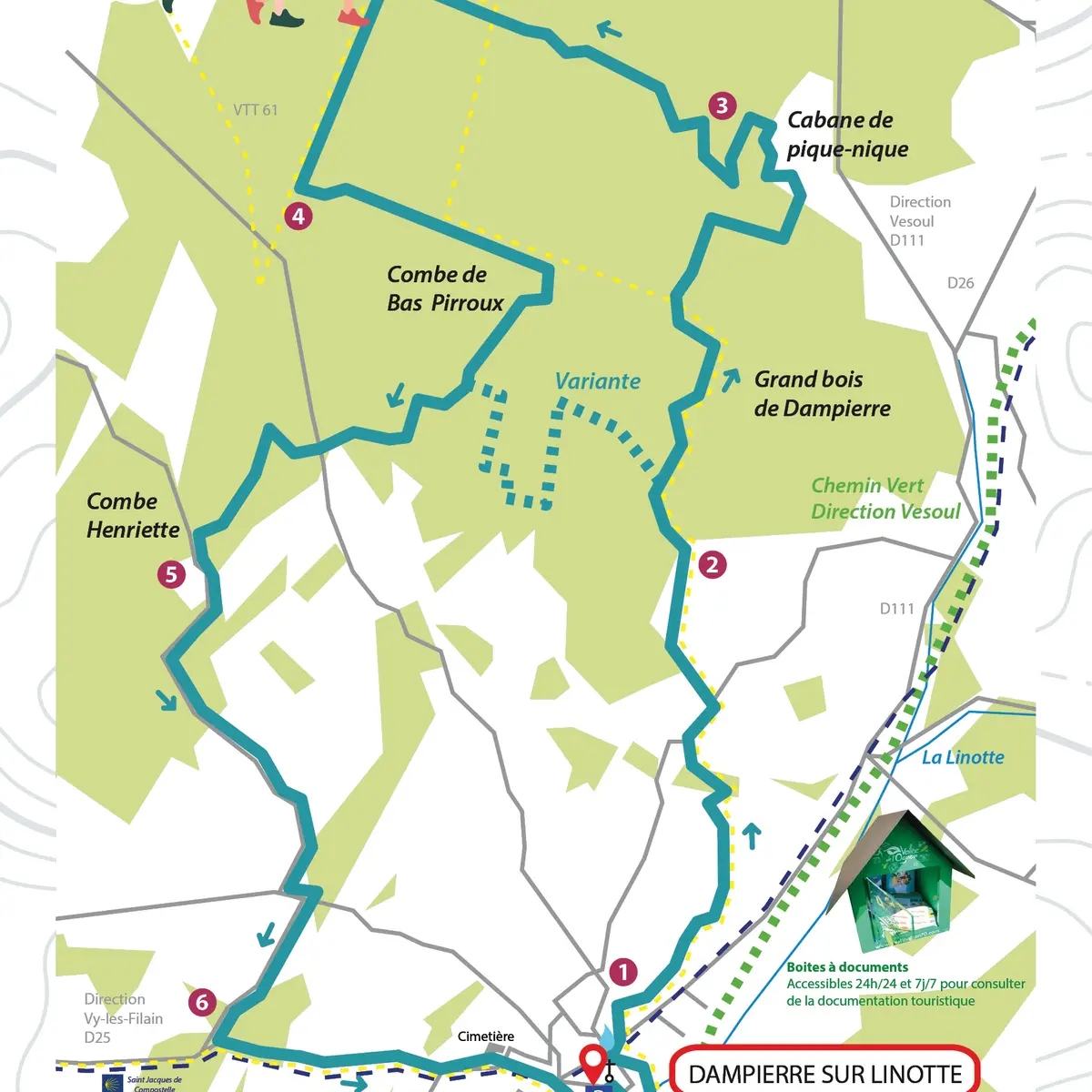
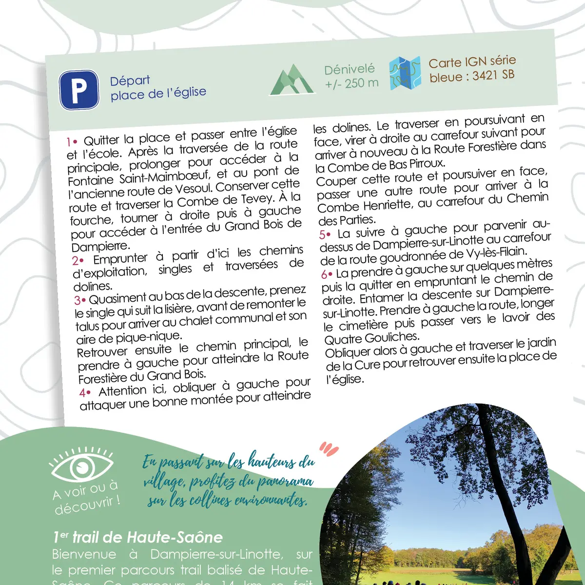
1- Leave the place and go between the church and the school. After crossing the main road, continue to reach the Fontaine Saint-Maimbœuf, and the bridge of the old road to Vesoul. Stay on this road and cross the Combe de Tevey. At the fork in the road, turn right then left to reach the entrance to the Grand Bois de Dampierre.
2- From here, take the logging roads, singles and sinkhole crossings.
3- Almost at the bottom of the descent, take the single track which follows the edge of the forest, before going up the slope to reach the communal chalet and its picnic area.
Find the main track and turn left to reach the Route Forestière du Grand Bois.
4- Here, turn left to tackle a steep climb up to the sinkholes. Cross it and go straight on, then turn right at the next crossroads to get back to the Route Forestière in the Combe de Bas Pirroux.
Cross this road and continue straight ahead, passing another road to reach the Combe Henriette, at the Chemin des Parties crossroads.
5- Follow this road to the left and you will come to the crossroads with the tarmac road to Vy-lès-Filain above Dampierre-sur-Linotte.
6- Turn left for a few metres, then take the track on the right. Begin the descent towards Dampierre-sur-Linotte. Turn left onto the road, go alongside the cemetery and then pass the Quatre Gouliches washhouse.
Turn left and cross the jardin de la Cure before returning to the church square.
Read more